
Mapping marine debris and investigating its sources, movement and prevention
Thousands of kilometres surveyed
Across Eastern Indonesia and the Philippines
Multiple survey methods
Visual observations, shoreline transects, drone mapping and net trawling
Remote research areas
Focusing on regions with little or no systematic monitoring
From evidence to action
Connecting field research, education and practical reduction strategies
Click here to join an Expedition!
Introduction
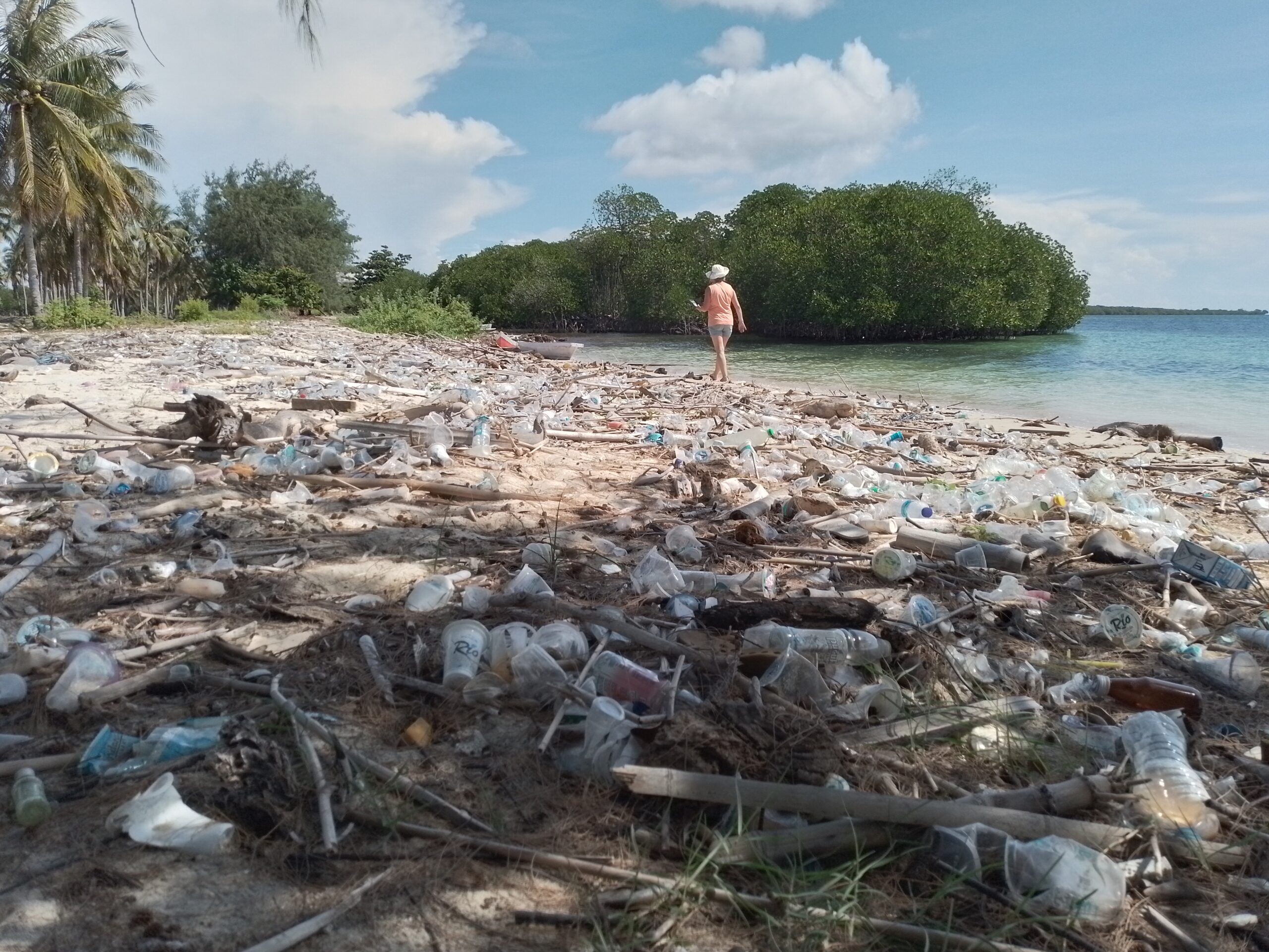
Plastic pollution has reached almost every part of the ocean, including remote islands and marine ecosystems far from major population centres. However, many of these regions still lack consistent data about the types, quantities, origins and movement of marine debris. Wicked Horizon uses its expeditions to document plastic pollution in places that are difficult to access through conventional research programmes. The project combines field observations, quantitative sampling and educational activities. Its purpose is not only to record pollution, but also to understand where it comes from, how it travels and which interventions are most likely to reduce it.
Research overview
The Plastic Pollution programme brings together several related activities:
- marine debris surveys;
- sea pollution mapping;
- surface net sampling;
- shoreline monitoring;
- drone-based documentation;
- micro- and nanoplastic research;
- educational workshops;
- corporate and public communication.
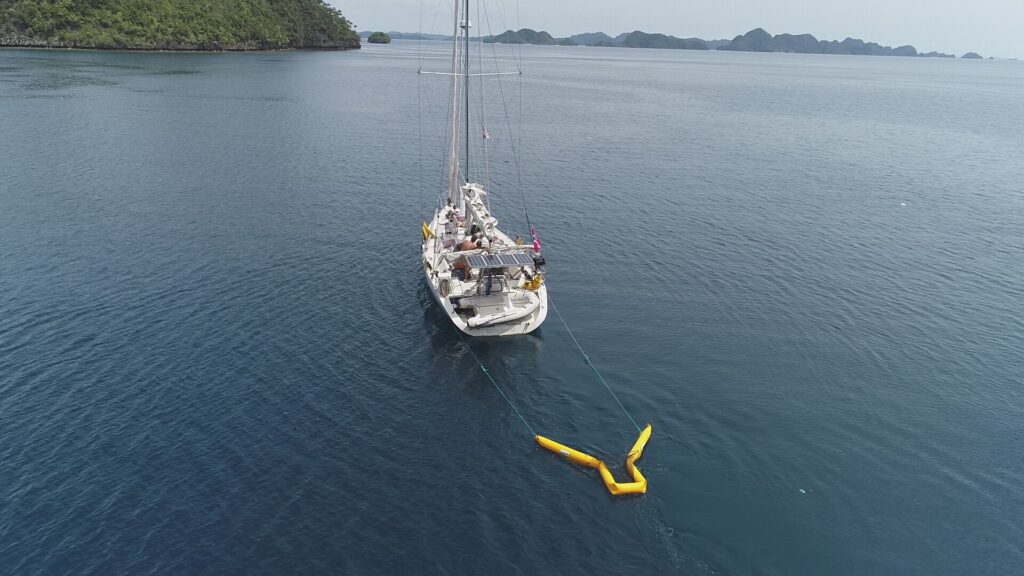
Data are collected from S/Y Nora Simrad, from smaller boats and directly from shore. Particular attention is given to the distinction between household waste, fishing-related debris, industrial materials and natural debris.
Project overview
Lead organisation - Wicked Horizon Academy
Research platform - S/Y Nora Simrad
Primary research areas - Eastern Indonesia, the Philippines and other expedition regions
Project duration - Ongoing
Survey methods - Visual surveys, transects, drone mapping and net trawling
Primary partners to date - Universities, schools, local foundations and technical organisations
Main objective - To identify pollution sources, distribution patterns and practical reduction strategies
Data ambition - Contribution to national and international marine-debris databases
Four areas of activity
01 — Distribution and hotspots
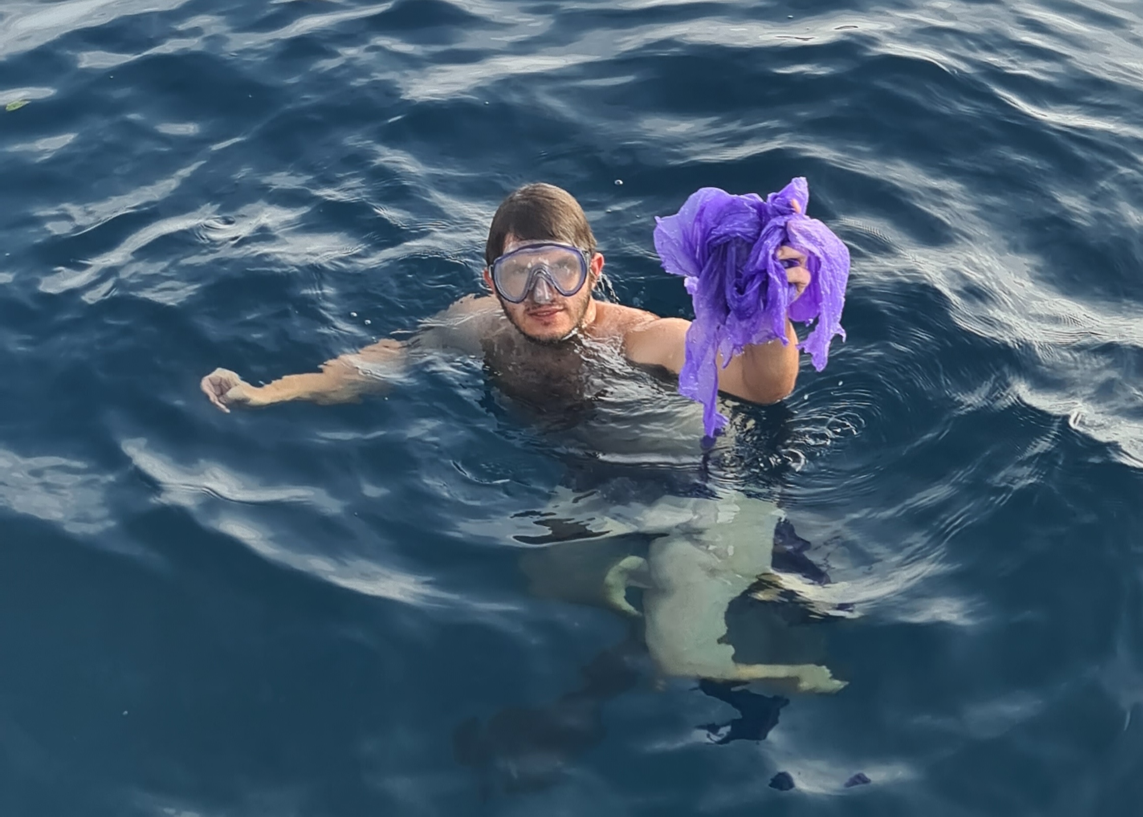
Surveys identify areas where floating or stranded plastic accumulates. By combining repeated observations with information about currents, winds, settlements and coastal geography, the project seeks to understand why some locations receive much more debris than others.
02 — Sources of pollution
Collected waste is classified according to material and likely origin. Categories include:
- household and consumer waste;
- food and drink packaging;
- fishing ropes and nets;
- industrial materials;
- maritime waste;
- natural marine and land-based debris.
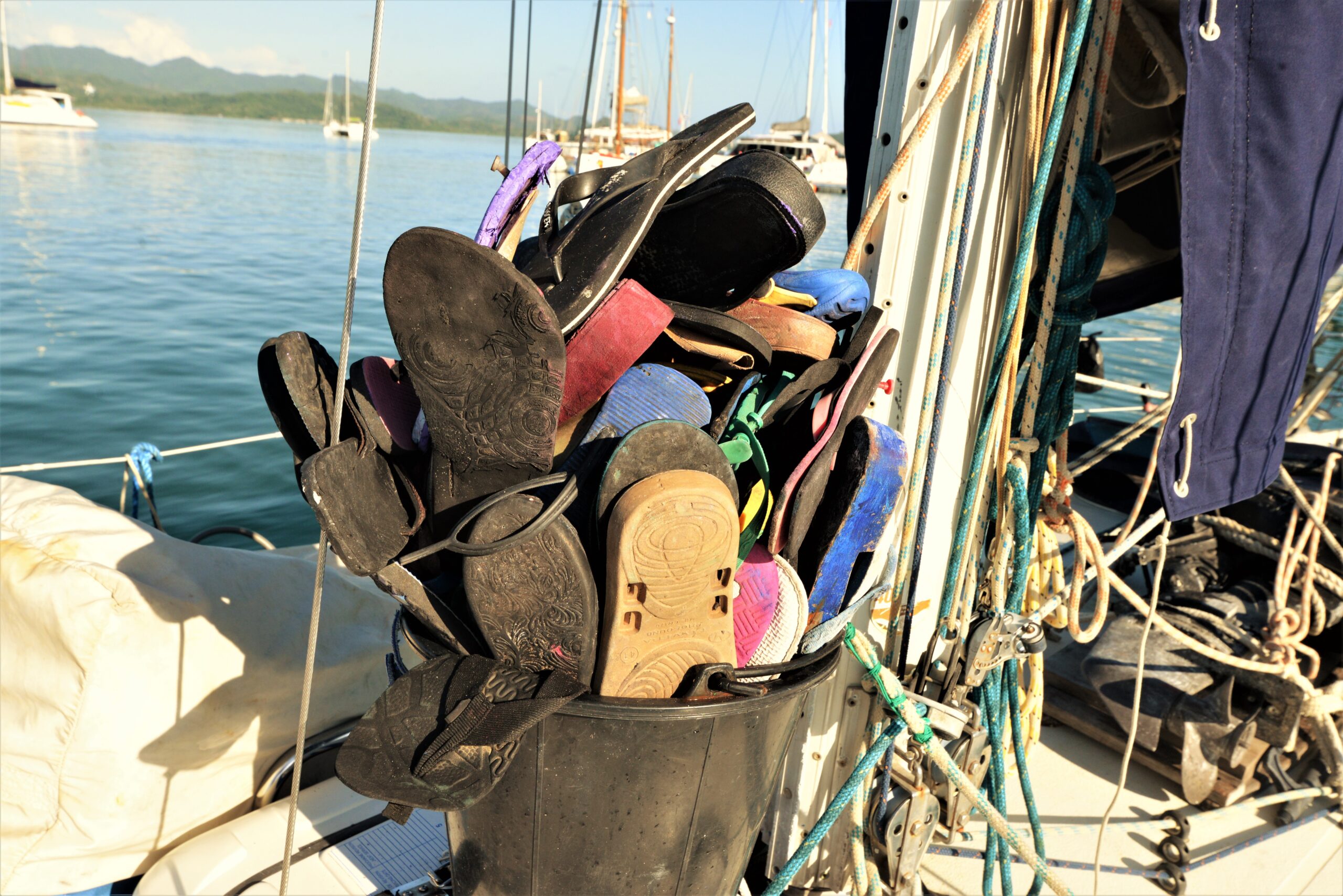
Early surveys in Eastern Indonesia suggest that household waste and single-use packaging represent a major proportion of visible marine debris.
03 — Survey methods
The project tests practical monitoring techniques that can be carried out from an expedition sailing vessel. Methods include:
- visual observations;
- shoreline transects;
- surface net trawling;
- drone photography and mapping;
- photographic classification;
- repeat surveys at selected sites.
The programme also evaluates how factors such as vessel speed, propeller wash, wind and sea conditions affect sampling accuracy.
04 — Prevention and response
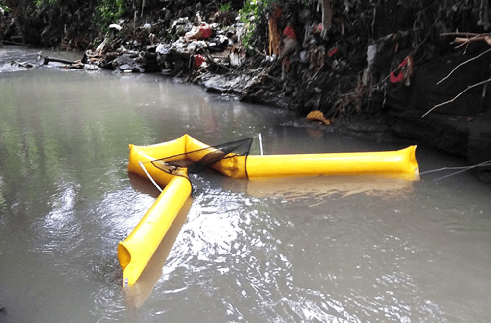
Research results are used to support discussions about waste prevention, product design, local collection systems, policy, behavioural change and cleanup technologies.
The project examines not only whether a proposed solution removes plastic, but also whether it creates other environmental, social or economic impacts.
Eastern Indonesia marine debris survey
Between 2022 and 2023, Wicked Horizon conducted surveys across Eastern Indonesia, including Raja Ampat, the Banda Islands, Wakatobi, Flores, Komodo, Timor and the Tanimbar Islands. Frequently observed items included:
- plastic bottles;
- bags and food packaging;
- expanded polystyrene;
- disposable masks;
- fishing ropes and nets.
Following the initial observations, quantitative test sampling was undertaken in the Misool area using a surface trawling net. Different towing arrangements were tested to avoid interference from the vessel’s wake and propeller wash. The collected material was then sorted into natural debris, household plastic, fishing and industrial plastic, and other human-generated waste. The work was supported by the Misool Foundation, OceanKita, Kristiansand Folk High School and the crew of S/Y Nora Simrad.
Research, education and communication
The programme also hosts workshops for students, academics and practitioners investigating marine, atmospheric, micro- and nanoplastic pollution. These activities explore:
- pollution sources and transport pathways;
- monitoring and sampling techniques;
- cleanup technologies;
- waste reduction;
- circular-economy approaches;
- policy and behavioural change.
Partnerships with organisations such as FLEXIT help translate expedition findings into accessible content that encourages practical, sustainable choices in everyday life.
Recent Comments